

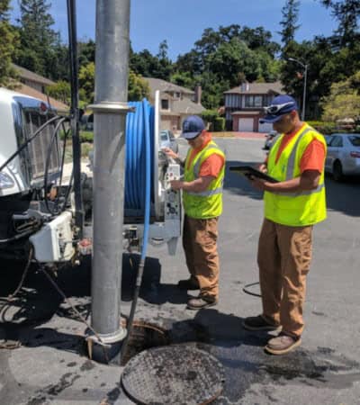
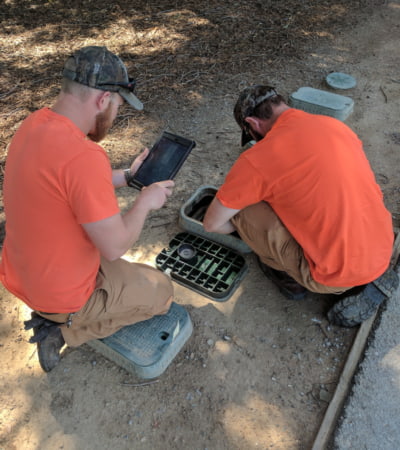
The City of Cupertino, located in the heart of Silicon Valley, serves a population of approximately 60,000 residents. The City relies on GIS and its enterprise asset management (EAM) system, Cityworks, to support daily operations across departments—particularly for field crews managing public works assets.
Prior to this project, Cupertino had already made progress integrating GIS and EAM workflows, but its underlying infrastructure limited efficiency, scalability, and ease of use for mobile staff.
Challenge
Cupertino’s GIS environment was hosted on a single on-premise server running ArcGIS Server Express and SQL Server, with both the geodatabase and Cityworks database stored internally behind the City’s firewall.
This architecture created several challenges:
- Limited mobility for field crews
Staff either relied on offline data replicas—requiring daily check-out and check-in—or maintained VPN connections from the field, both of which were time-consuming and unreliable. - Inefficient and error-prone workflows
The replica process increased time spent in the field and introduced risk of data conflicts and errors. - Performance limitations
VPN-based access was dependent on network strength, often resulting in slow performance, timeouts, and lost edits. - High IT and GIS support burden
Maintaining connectivity and troubleshooting issues required significant internal resources.
To improve field operations and better integrate GIS with Cityworks, the City sought to migrate from its single-server environment to a scalable cloud-based architecture.
Technical Solution
The City engaged Quartic to design and implement a cloud-based GIS architecture using Amazon Web Services (AWS).
The initial phase involved deploying ArcGIS Enterprise on an AWS EC2 instance, replicating core GIS services and databases in a secure, externally accessible environment. To maintain data integrity, two-way geodatabase replication was established between the on-premise system and the cloud environment.
Key elements of the solution included:
- Cloud-hosted ArcGIS Enterprise
ArcGIS services were migrated to AWS, allowing secure, real-time access without requiring VPN connections. - Separation from internal network
By hosting GIS services in AWS, the City avoided exposing internal systems while improving accessibility and security. - Targeted data replication
A subset of public works data was made available in the cloud for field use, enabling crews to edit assets in real time while maintaining authoritative datasets internally. - Scalable infrastructure
As usage increased, the environment expanded to include Amazon RDS for database performance and larger EC2 instances to support additional users and services.
This architecture eliminated the need for offline workflows and enabled seamless integration between GIS and Cityworks in the field.
Software/Technology
- ArcGIS Enterprise
- ArcGIS Server
- SQL Server
- Cityworks EAM
- Amazon Web Services
- Amazon EC2
- Amazon RDS
Results
The City of Cupertino’s migration to the geospatial cloud significantly improved both field operations and overall system performance.
Improved field efficiency
- Field crews can now access and edit data in real time without VPN or offline replicas
- Reduced time spent preparing data and resolving sync issues
- More time spent in the field completing work
Increased system performance and reliability
- Eliminated timeouts and connectivity issues associated with VPN-based workflows
- Improved responsiveness of GIS and Cityworks applications
Reduced internal support burden
- Less reliance on GIS and IT staff to manage mobile workflows
- Simplified system maintenance through cloud infrastructure
Scalable and flexible architecture
- Infrastructure scaled easily as additional departments adopted Cityworks
- Enabled growth in GIS usage and services across the organization
Expanded public-facing capabilities
- Supported development of new web applications, including a successful 311 implementation
- Enabled open data initiatives and public dashboards through ArcGIS Online
- Improved transparency and access to City data

The City of Cupertino’s transition to a cloud-based GIS platform demonstrates how even mid-sized cities can modernize infrastructure to support real-time operations, improve service delivery, and expand access to data. By leveraging cloud architecture, the City has created a flexible foundation for continued innovation and growth.